Kimba, 244km, 152 mi*
The Eyre Peninsula is shaped like an upside-down pyramid. There are two ways across. You can go (roughly) 500km across the top through farmlands, or 800km (400 down the west side and 400 up the east side) through some small seaside towns to get across. In spite of limited time, I really wanted the coastline. Yesterday I rode hard to get a start on it (100km down the west side) to enable the possibility.
However, last night I checked the weather at www.bom.gov.au It said:
Tuesday: Warm at first with fresh to strong northwest winds. A strong west to southwest change mid-morning with winds increasing to gale force during the afternoon. A few showers late afternoon and evening. Min 15 Max 26
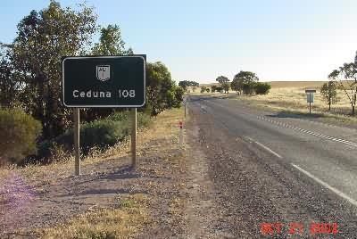
The next few days are supposed to be the same – rain & gale force winds. Given my few days left, this made the coastal route practically impossible. So, I studied maps into the night, and decided to cut straight east back to my old friend, the Eyre Highway, and cut across the top. 🙁 Heading east out of Streaky Bay, the first mileage sign.
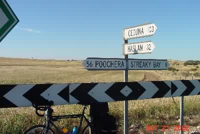
I wasn’t going to Ceduna again, but I had to backtrack 8km, then take a sealed, unnamed on the map, country road back east. I didn’t expect any good signage, so I took this picture at the junction where I headed off the main road, toward Poochera.
Yesterday I purchased a tube of DEET (insect repellant), and today I used it. The wind changed the capabilities of the flies, but not their strategy. Before they attacked when I stopped, but with the wind, they could blow along with me as I rode. To get rid of the flies, I stopped. But I had to ride, so I lacquered my helmet, ears, neck, etc. with DEET. It had positive impact. Other than that, as expected, it was rolling hills through wheat and fallow fields, with no traffic.
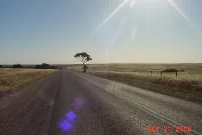
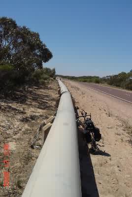
65km later, back on the Eyre Highway, it was the usual light traffic. The crosswind turned into a nice tailwind. For the next 85km the road ran parallel to a pipeline and a railroad track. It seemed like I was riding along an infrastructure corridor through “Granite Country”.
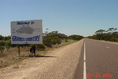
This route provided two distance choices. A short day (185km) to Wudinna, or a longish day (240km) to Kimba. Like yesterday (Ceduna), I completed the short option by early afternoon, so it was either sit around in a dull farm town or move on. Now, as you approach a town, they have local attractions signs. Here are the Wudinna (pop. 200 or so) attractions, and the mileage sign heading out of town.
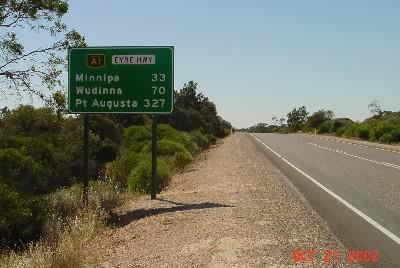
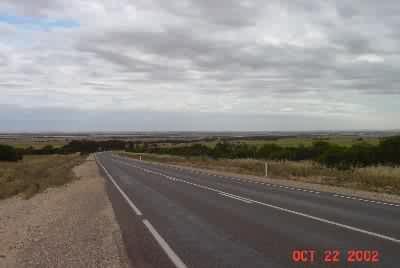
The wind rotated from N to NW to W to SW during the day, and turned into a strong crosswind. Lucky for me, the road turned NE about 13km past Wudinna, and my strong tailwind returned. There were some big rolling hills here (note the clouds).
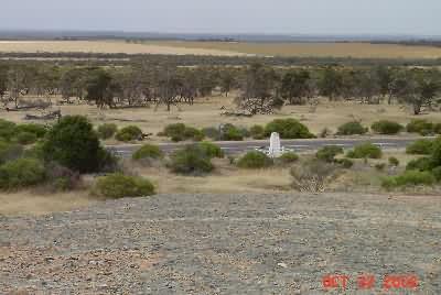
Just when I was thinking this was going to be the dullest update yet, in the middle of nowhere (65km before Kimba) there was a monument by the side of the road, and behind it a big rock protruding out of the ground. (Note the clouds)
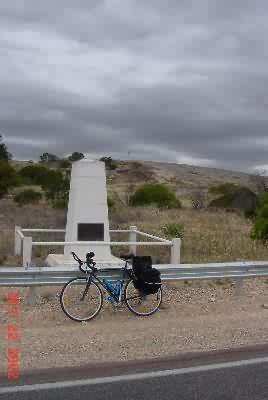
The plaque on the monument says:
“John Charles Darke
Surveyor and Explorer
On his return journey from the Gawler Ranges reached these rocks on 22nd October 1844 speared by natives next day, he died on the 24th and was buried at the foot of Darke Peak. J. N. Theakston assumed command of the party. Erected by residents of Waddikee Rocks – 21st October 1944.”
Not that this was the greatest sight, but I still not paying adequate attention to what was going on around me, I climbed the rock and took a picture of the view including the monument.
Just as I got back on the bike, in the strong mostly tail-winds, I felt the first drop of water. I put on my rain jacket, and rode through sheets of rain for the next two hours. I hope it wasn’t too late for the wheat farmers, because it was a cold rain and it was freezing me up. It was exciting but uncomfortable to ride through a windy, cold Eyre Peninsula rain storm.
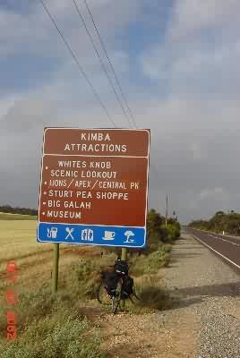
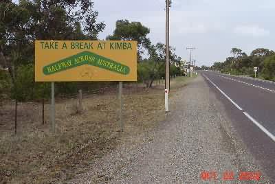
A tortuous ride later, I came to the outskirts of Kimba. Here’s the “attractions” sign and a special sign – halfway across Australia. Given my convoluted way of crossing the continent, I am over 90% of the way done. With good weather and effort, I could be in Adelaide in 2 days. It will be bad weather, and I may take my time, so let’s call it 3 days remaining.
(Oct 22, 2002 8:16PM Kimba)
– When I passed the roadhouse in Gibson, WA (outside of Esperance) I determined that I should never do this again without fully restocking no matter what. It doesn’t make sense in this world of 90km max between supplies, but it’s a hard habit to drop. Rest assured that there is no chance I will run out of food or water between here and Adelaide

 October 21, 2002