
Mornington 181k/113m***
 September 18, 2002
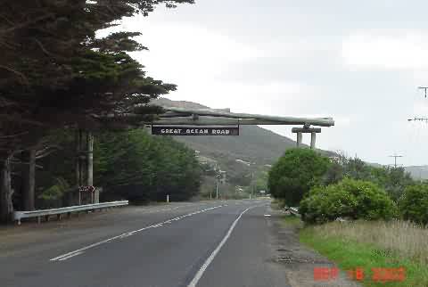
The Great Ocean Road is Australia’s Pacific Coast Highway. The Lonely Planet Guide to Cycling in Australia says that if you only have one week to ride here, this is the best place. A plaque (later) says it runs from Nelson, by the South Australia border, to Geelong. Most guide books cut it down to Peterborough to Anglesea. (If you have a map of the state of Victoria this makes more sense).
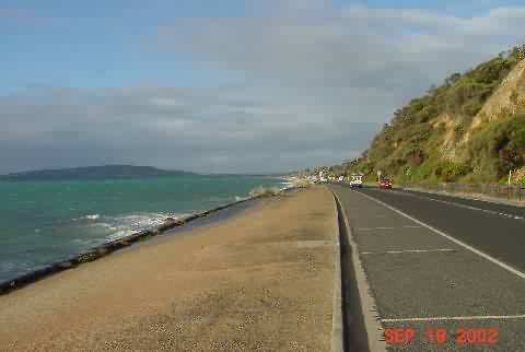
The narrower definition makes more sense. Within this it breaks down to three sections. The first, from Peterborough to Princetown is dramatic coastal shore. The second section from Princetown to Apollo Bay is not along the ocean.. You go inland and climb over the Otway range twice. Pretty pasturelands and forests, lots of climbing. I went back and rode section III today. This is the part that’s most like the Pacific Coast Highway. The road is cut into the side of hills. It sinews up and down, back and forth along a beautiful coast, most of it undeveloped. Almost every turn offered new, beautiful vistas. I took over 40 photos today. Don’t worry.
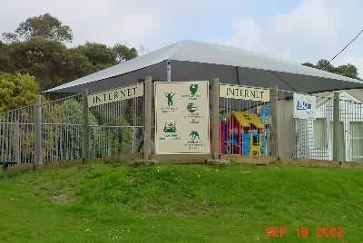
I left Apollo Bay around 7A. It alternated between misty and rainy.. After 45km I came to Lorne for breakfast. This seems more upscale than any of the towns I’d seen on the GOR. I tried to get online at the Losa Café, but couldn’t establish a steady connection. On the way out of town, however, I noted the local community center.
I stopped and sent the accumulated 3 updates. Everything here seems to be analog, pay by the minute. It cost me $A35. Then I rode on and kept taking pictures. Here are three shots of this road along the Apollo Bay – Anglesea section (Section III). None of these are as great as they would be if it wasn’t a cloudy, rainy day.
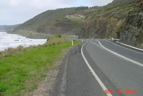
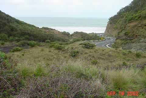
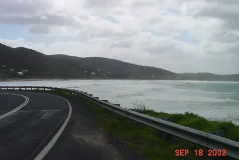
The inlet shot is the same photo that’s on the cover of the Globetrotter Australian Road Atlas, I think. While taking one of these pictures, I noticed a caterpillar crossing the GOR. So, this is the second in my series (the first on the RAAM in Alabama) of caterpillars crossing the road.
Aireys Inlet has a pretty white lighthouse on an outcropping. I never got close enough for a good shot. Somewhere between there and Anglesea I came upon the Memorial Arch.
This road was built with post WWI ex-soldier labor. There are a variety of plaques mounted in the base of the arch, and a sign in the arch parking lot that explain things. I have photos, but reproduced at internet resolution they are unreadable. The text of one:
The Great Ocean Road Trust
Founded 1917
—————————-
This Road Was Built to
Commemorate the Services of
Those Who Served In
The Great War 1914 – 1919
There were photos of the labor camps and stories of the work. It was interesting and profound. (If anybody wants any of the other shots I have, plaques, etc. I can email them to you when I get back to cable or DSL somewhere (probably in the states.)
The wind had been coming from the west, and I had been zigzagging west then north. Most of the way the hills protected me. After Anglesea, I left the coast for 60k and things got more challenging. The next town, Torquay, was notable for all the surfing shops. Malls full of them. They must sell a lot of wet suits with the surfboards here. Then it was north to Mt. Duneed, and then west 40k to Queenscliff and the ferry. I pushed to make the 3:00 ferry, and made it by 10 minutes.
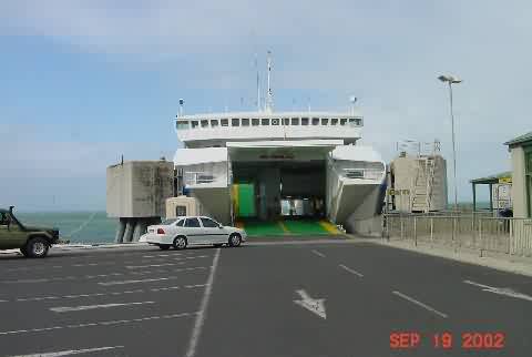
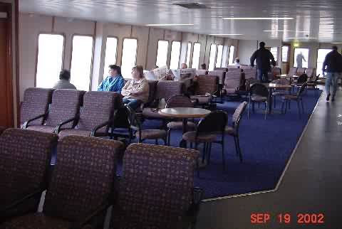
This was a big, comfortable ferry boat, in spite of all the wind. The headline and entire front page story from the local paper I found on the boat was about the wind. Top speeds of 95-112km throughout the region.
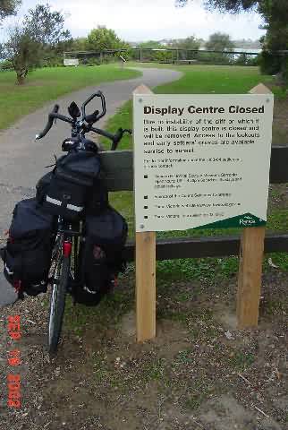
The ferry docked at Sorrento just before 4PM and I took off to the easiest riding of the trip. I came to the Collins Settlement (first European (British) settlement in Victoria, dating to 1803, mostly convicts, with graves). It was abandoned due to poor water, poor trees, and potentially hostile natives. Collins then headed to Tasmania and started the infamous penal history of that island. Unfortunately, the historical area was closed :-(. (I do have some plaque shots though…)
I then enjoyed flat, relatively straight roads and steady, manageable winds from the west as I cruised along the Mornington Peninsula. Along the way it was beaches and parks to the left, stores and homes to the right.
I planned to stop in Dromana, but given the favorable conditions, pressed on to Mornington. Here I found the Royal Hotel, built in 1857. In spite of no internet, and no clothes washing facilities, I decided to stay here.
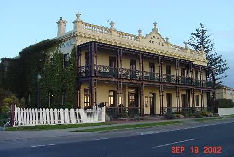
It was fun staying in such an old hotel, old glass, balcony overlooking Port Phillip. Much better than the cheap motels (not that it was expensive.)
Tomorrow should be a reasonable ride to Warragul. Then it’s the train and bus back to Cann River, where I was a couple days ago. The plan is to stay head straight east from Cann River, then straight north to Sydney. Any tourist time is in the hands of God.
(9:27P Mornington)
– They seem to grow wine almost everywhere around here. The Shiraz CabSav (as they say) blend I had last night was from Rye, a couple towns down the coast.
– The Mornington Peninsula is like the coast south of LA. The Mornington town area is a hill with nice homes similar to Palos Verdes. Farther south/west it approaches the feel of the coast north of San Diego.
