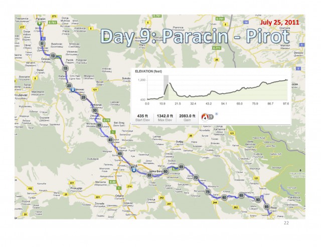
7/25 –Paracin to Pirot 107m/171k**
 August 3, 2011
Ottoman 9: Paracin to Pirot
Monday, July 25, 2011
107m 171k**
It’s tour Serbia day – riding through the countryside, mostly on route 214, with a jaunt through and lunch in the medium-sized city of Nis. After an 600-foot climb ten miles outside Paracin, it was a steady but not steep uphill for the rest of the day. Map and elevation at end of post.
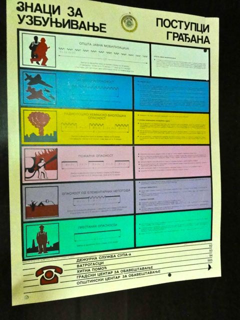
I start the day with the ‘emergency’ sign by the elevator in the Petrus Hotel in Paracin. On the left are graphics of the various emergencies – NATO airstrikes, shelling, floods, etc., followed by the respective alarm designation and on the right, panic instructions. Though we switched to Cyrillic when we entered Serbia a couple of days ago, even I can interpret the pretty straight-forward instructions: “run for your life.”
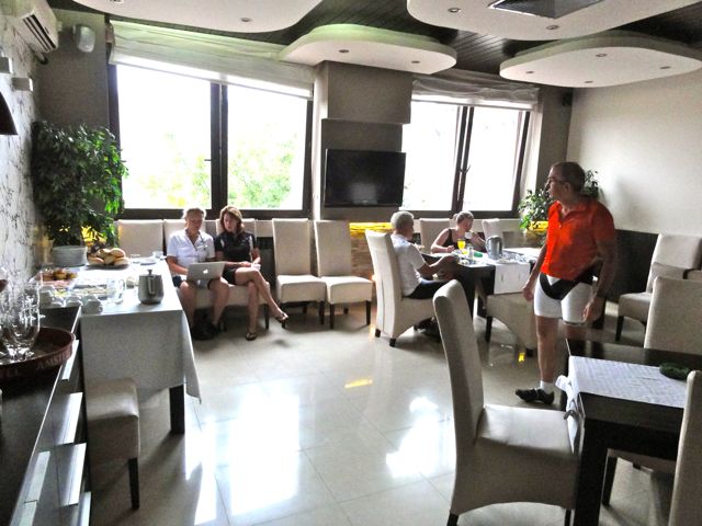
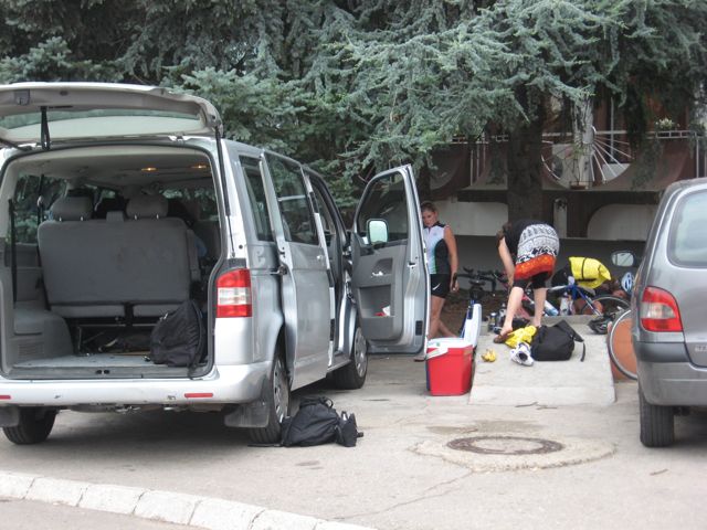
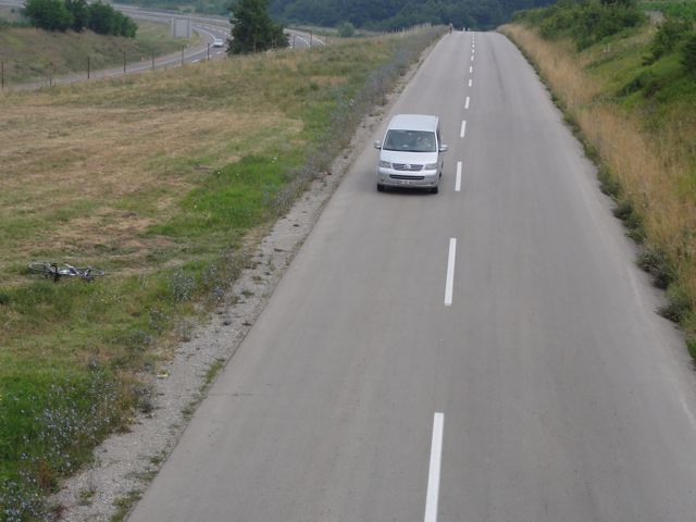
We ate a fairly bleak breakfast at the hotel (Lisa + Cherie looking at maps on the computer; Nels and Annie eating; Jürgen wondering what’s going on; Katharine not engaged yet) and then did our usual prep-work at Babar, the trusty VW Caravelle van.
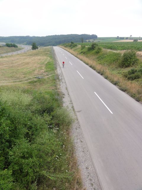
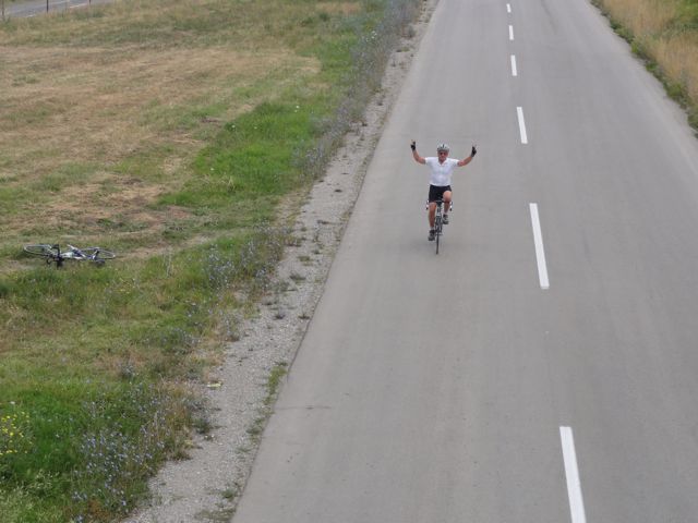
It’s hard to remember all the hills, but this first one just kept giving. Near the top I found an overpass, dropped my bike on the side of the road, and photo’d everyone as they rode by:
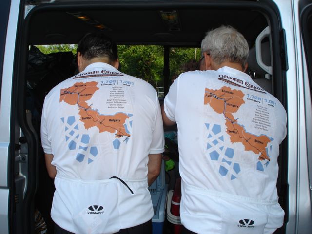
1. Jurgen (that red dot on the next photo- with the best perspective of the hill and the highway next to route 214)
2. Babar driven by Annie,
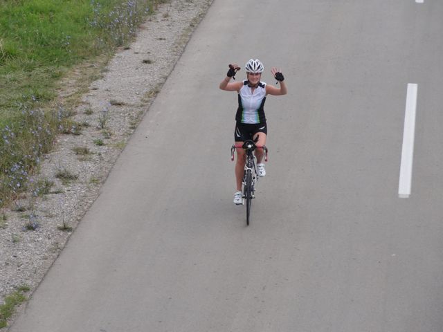
3. the impressive Katharine,
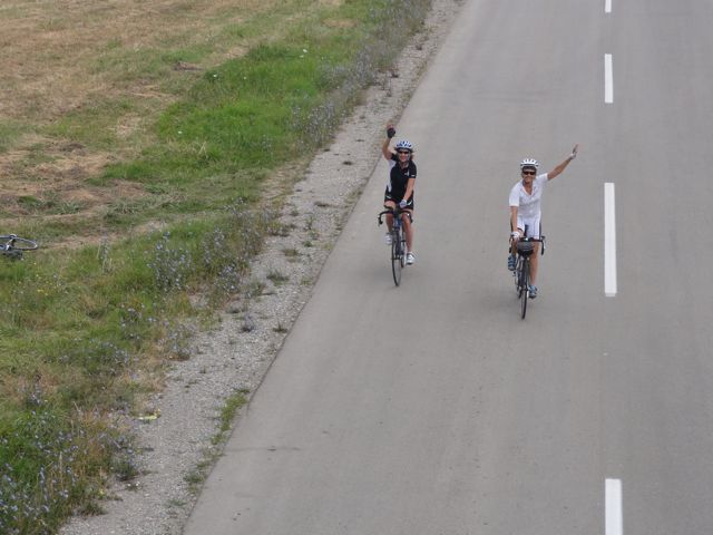
4. then Cherie and Lisa,
5. and Nels riding sweep (stopped to take photos).
Note my bike resting to the left of Nels.
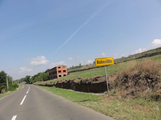
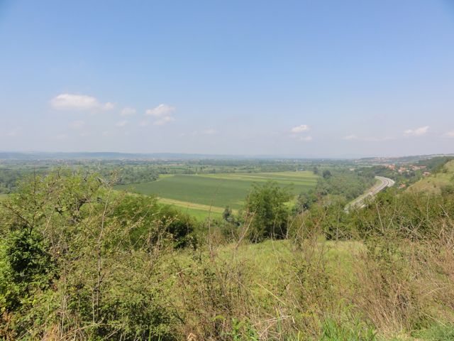
About 30 miles into the ride I decided to leave the group and ride over the hill on the east side of the freeway rather than through the valley along the tracks on 214 on the right. Two photos from this venture… a kind of desolate town (like most rural Serbian communities) named Boboviste (!) and a view from the hill looking down on the highway and valley.
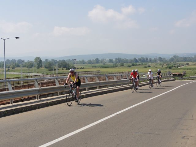
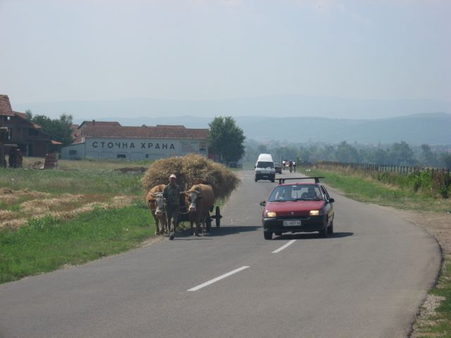
I did reconnect after less than 20 miles, and took a shot of them riding across the highway (Hwy 1 or Hwy 475 at this point) outside Nis and another of them after they passed a hay-stacked, ox-drawn cart on the 214.
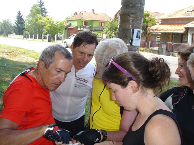
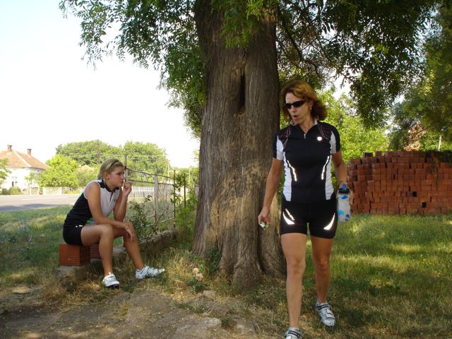
We took an interesting break somewhere along the way here, just after Nels was attacked by a bunch of dogs. Here’s Nels and I hitting the coolers in our team jerseys, the team checking the map, and Katharine and Cheri by an accommodating tree.
After a meat sausage and meat pancake lunch on a little pedestrian walk-way in Nis, we headed out as a team, stopping to fix a couple flats. After what I thought was a 30 second van break, I rode slowly ahead waiting for a peloton that never came. Turns out there was another flat or two, and the rest of the team was concerned about the traffic on the main road heading out of Nis toward Sophia.
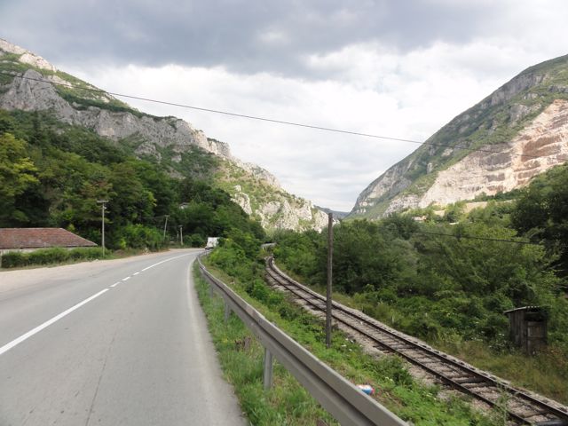
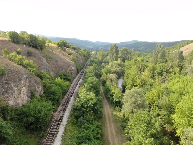
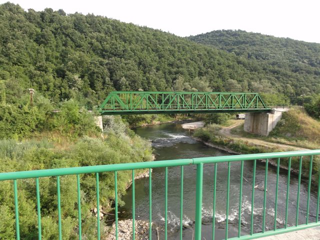
From that point I rode about 40 miles alone on a beautiful stretch of road, with little but sometimes intense traffic. There were 12 tunnels in the cliffs alongside, and a river and RR tracks accompanied me up the steady climb. It was the prettiest section of road so far.
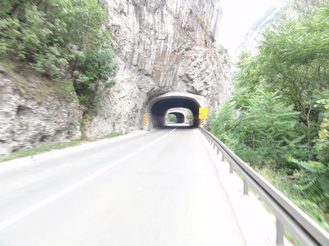
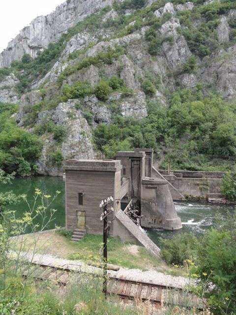
Lisa and Cherie somehow caught up to me on the climb and resupplied me, then went back to find/support Nels, Jürgen, Annie and maybe Katharine who were riding some other route. They all caught up to me in Babar the van as I was walking through the second to last tunnel – a long one maybe four miles from Pirot.
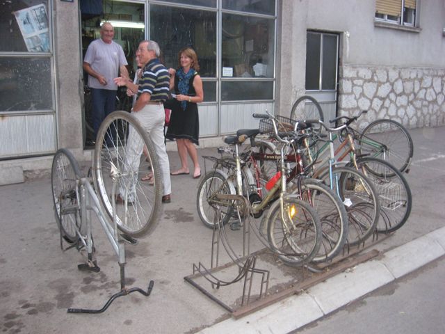
We did the usual wash-up, walked a couple of blocks to a local restaurant passing a local bike shop… ate, crashed and got ready to head into Sophia the next day.
Here’s the map and elevation.
Bob 8/3/11 2:13p Over the Atlantic south of Iceland
