Tocopilla 169k, 104m***
 November 16, 2004
Camping out on the Tocopilla Golf Course. (dedicated to Guy Snyder)
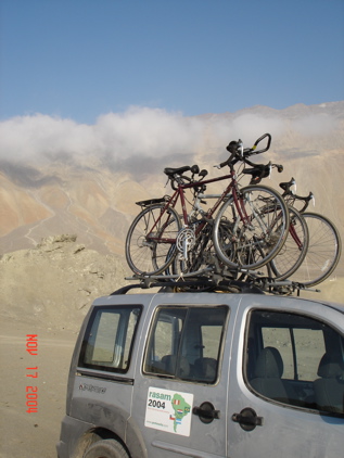
Everyday Dalton, Eduardo and I take pictures. I download them to the computer, pick the best and build an update around them. Usually I select 15 to 20 pictures. Today there were 44. Where to cut out from such an interesting day. Let’s see what happens.
We left the fairly decrepit Chilean city of Calama on our usual schedule – breakfast if you want it at 7:30a, leave at 8a. Yesterday we rode part way past Calama toward Chuquicamata. Both towns are based on mining, fundamentally insensitive to litter or other aspects of the environment. Not a pretty place, but they do have copper mines where the dirt debris stacks hundreds of feet into the air. The first picture is what ended up to be the last climb.

We wanted out of here, and drove up this. At the top, we got on our bikes and began what happened to be the 3rd great downhill of the ride.
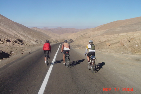
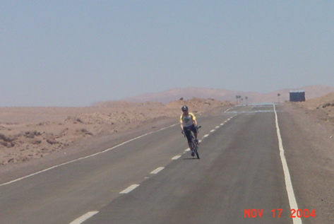
Chilean Ruta 24 out of Chuquicamata is not a downhill to be trifled with. It went on forever. We had to take breaks. Dalton disappeared into the distance. I got bored and start slaloming the lane markers, wondering when it would be necessary to pedal.
We spent maybe two hours and 35 miles on downhill and flats. Along the way we passed dozens of roadside shrines, many seeking water for planted trees.
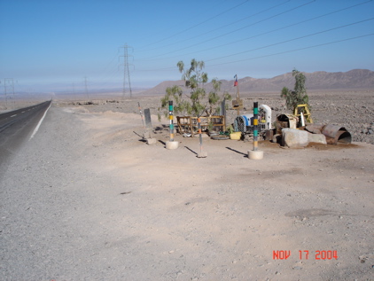
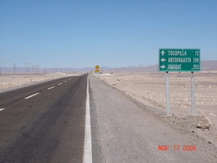
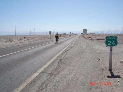
We took our first break of the day at the intersection of the PAN AMERICAN HIGHWAY (something I’ve always wanted to see) and Chile route 24. Here is Dalton riding toward it, followed by the signs he sees.
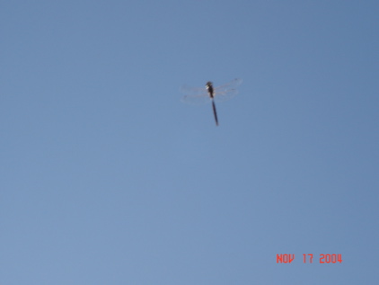
There were a couple of seemingly abandoned buildings at this (what I would consider) historic intersection in the middle of nowhere. Eduardo set up our table and we had our traditional ham and cheese sandwich breakfast/lunch/dinner/snack thing. There were dozens of dragonflies flying around – who knows why. I leaned back and snapped of a bunch of pictures until I caught one. (Bored – NOT!)
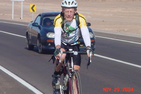
After lunch we continued west. Ruta 24 went uphill in rolling waves toward the coastal mountains, and there were strong headwinds heading east (typical for afternoons on the western side of the Andes. Here’s Steve on this stretch, with his Camelback.
Twenty miles from the coast, at 3,000 feet by my altimeter, we began yet another spectacular downhill toward the Pacific.

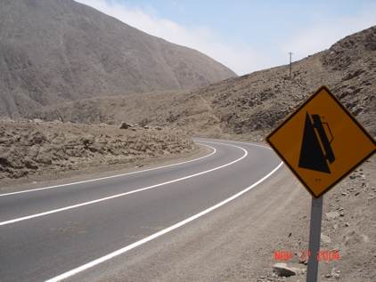
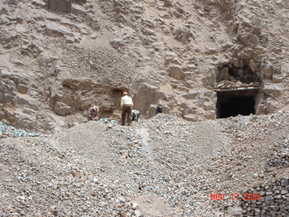
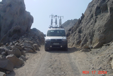
They tilted the downhill sign a bit more than usual to give you a clue on the magnitude of the descent. The whole way was through a rock filled, lifeless, steep, winding canyon into strong winds. Along the way we rode along a mining railroad, and the occasional group of miners working the hills – for what I don’t know.
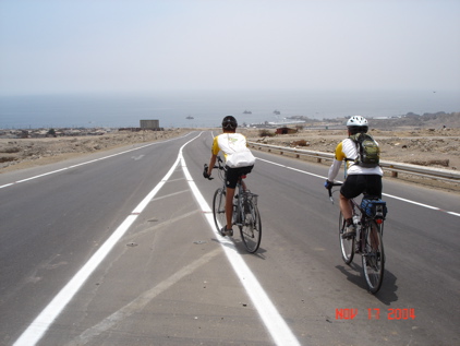
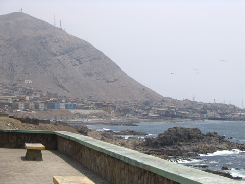
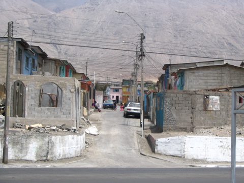
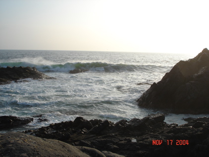
Dalton and Steve were waiting for me at the sign welcoming us to Tocopilla. That second photo is the first view (almost) of the completion of the transcontinental crossing. There was no actual way to get to the ocean in Tocopilla. It is a very rough, dirty, coastal city. The beaches are either high rocks or carved out port facilities. Following is a picture of the city and a typical street.
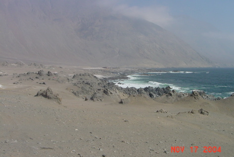
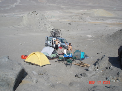
There were only a couple of shoddy little hotels this city, and both were full. So we hit a couple of stores, and set out to camp on the ocean somewhere north of town. We were told there were good beaches. When we got to the Tocopilla Golf Course, along the coast, we turned in and asked if we could camp thereby. The guy said yes. We went exploring in the fiat and found our very own beach.
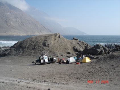
So we set up camp.
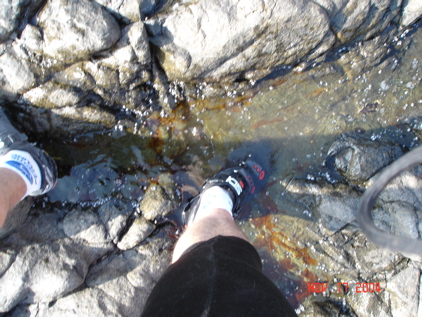
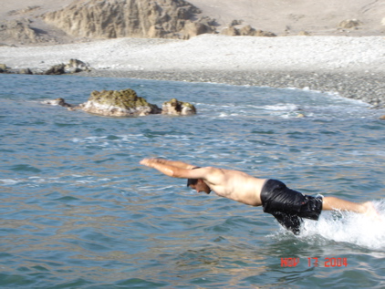
Then it was off to actually get to the ocean. I did my official foot in the water shot, without even taking off my biking shoe.
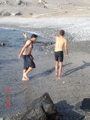
The guys persuaded me that baptism required more. Dalton figured out that Steve found the best spot and led Eduardo over.
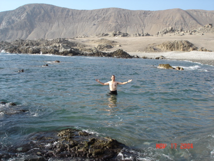
The next three shots are of Dalton, Eduardo and I all diving into the cold water.
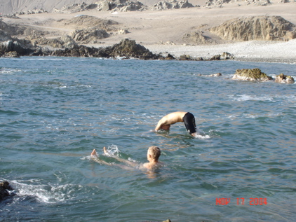
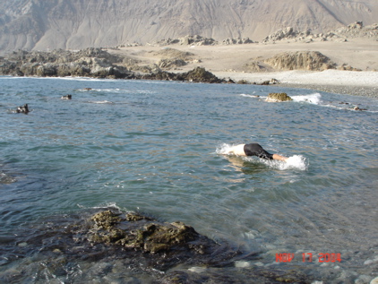
Dalton won the diving contest. We were quite pleased with ourselves

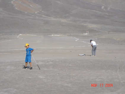
The golf course? How do you do a golf course where there’s no flora (grass, trees, etc.) of any kind. Basically you clear off the bigger rocks, draw white lines on the dirt, and set up the same stuff you would as if there were grass. The water hazards are blue rocks. The trees are made of metal.
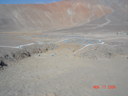
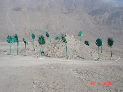
Lest you believe this is a joke. Here is a golfer and his caddy. They say the place is packed on weekends. I have lots more pictures, but you get it.
We set up our campfire, had a great Eduardo meat and bread dinner (with wine), and watched the sunset. Nobody wanted the night to end. The last two pictures… our bikes resting on the Fiat and the sunset.
Continent #4 officially crossed. Now just 900 miles north to Lima.
