Paso de Jama, Chile 124k,77m***
(Riders note: details on the road conditions at the end of this update.)
Our riding mileage is well below my usual averages, but the conditions here are much more extreme than anywhere I?ve ridden on the 3-1/2 continents to date. Besides the altitude, we have incredible climbs and descents each day, aggressive winds and sometimes unride-able road conditions. We were able to ride only 35 miles today of the 77 we covered.
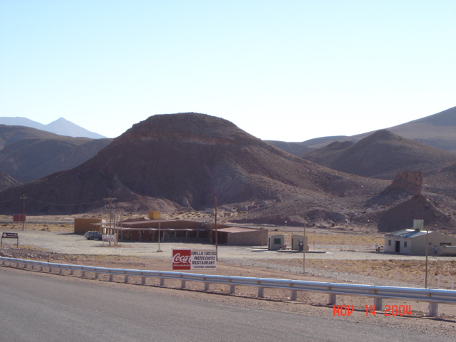
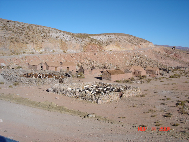
Dalton, Steve and I left the Hotel Pastos Chicos on Ruta 52, km220 inSusgues at 8am, at 11,400 feet. It was a clear, crisp, still morning when we left. The hotel doesn?t look like much (see below) but it worked for us. Just leaving town we came on a group of homes with pens containing separate groups of llamas and sheep, waiting for their morning release.
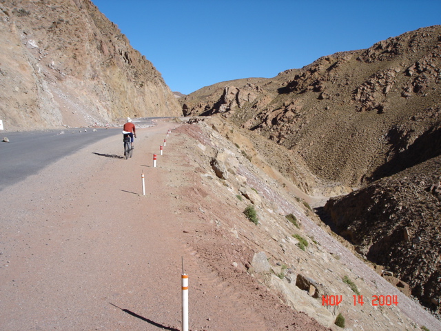
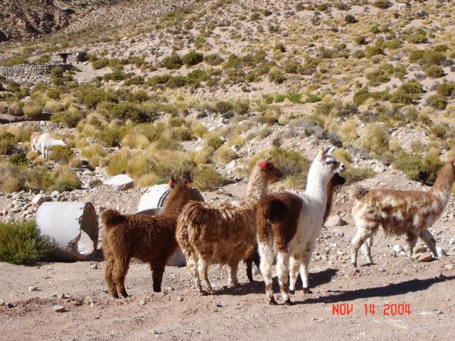
In the first 10 miles we climbed to 12,830 feet (Dalton won the bet) and then proceeded around anther vast salt sea in the altiplano. Following are photos of Dalton and some more llamas on that first climb.
We descended to a second large salt lake at 11,400 feet and the road turned south into a 40 mile ?U? shape to get around it. We knew that there was an unpaved section of mountain road here, but not where it would begin or how long it would be. At the 26 mile point into the day, we approached this unpaved section, put on our dust masks and rode into the dirt and rocks..
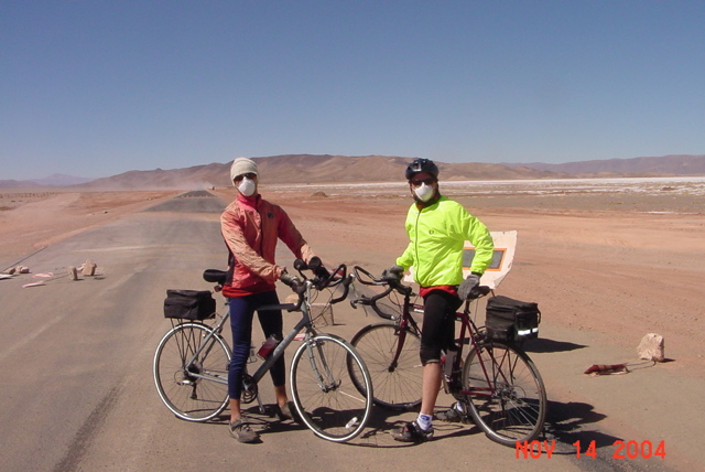
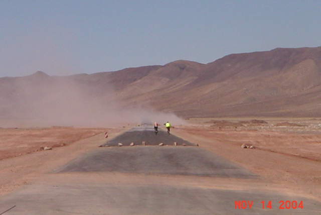
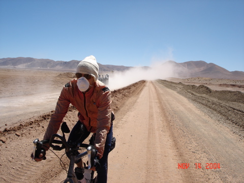
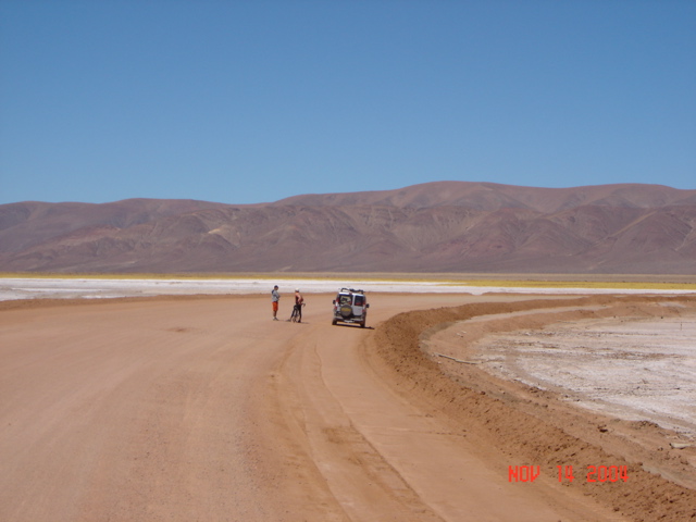
These next two picture s show Dalton and I on the graded dirt road, and Eduardo and Dalton at a break as the road curves through this second large salt flat ? Salar de Olaroz.
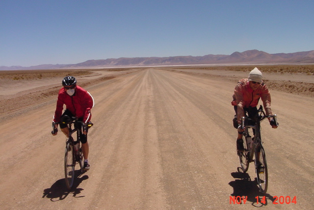
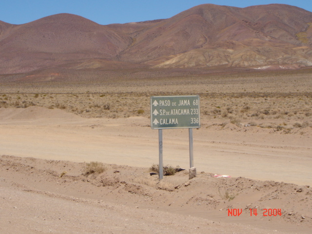
About the time we hit the mileage sign above, the road became nothing more than rutted gravel and sand. If anyone reading this ever considers riding through the Andes here, the ride-able time of day is from early AM until about noon, and you?ll need to have a mountain bike and a lot of patience to go beyond the 56k/35m point beyond Susgues.
Just past this point also, except for the road, civilization seems to stop. There are no more adobe homes, no people, no flora of any kind beyond some scrub ? just rocks and sand and salt. We loaded the bikes on the Fiat and began a 2 hour, 44 mile drive to the boarder. The next two pictures give you some idea of the terrain, and a reminder to bring dust masks.
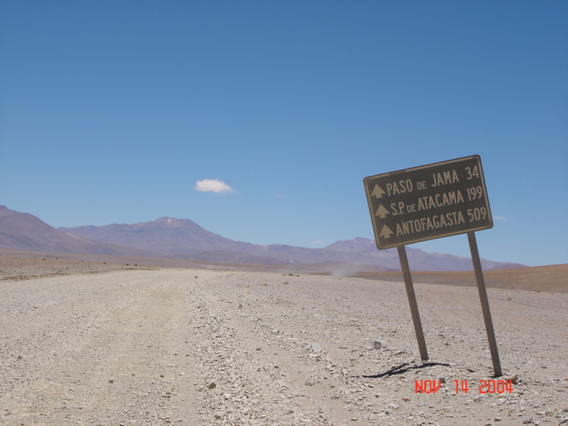
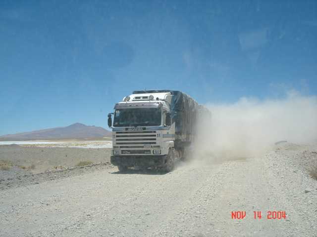
The maps indicate a little town called Jama maybe 5 km before the border with Chile. There are a few huts here, but no stores. The Argentinean custom station forces everyone to stop in either direction and get various stamps on their documents. A bus just beat us here, and we spent 45 minutes waiting to get through. You can’t get away from bureaucracy down here.
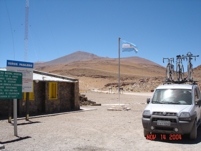
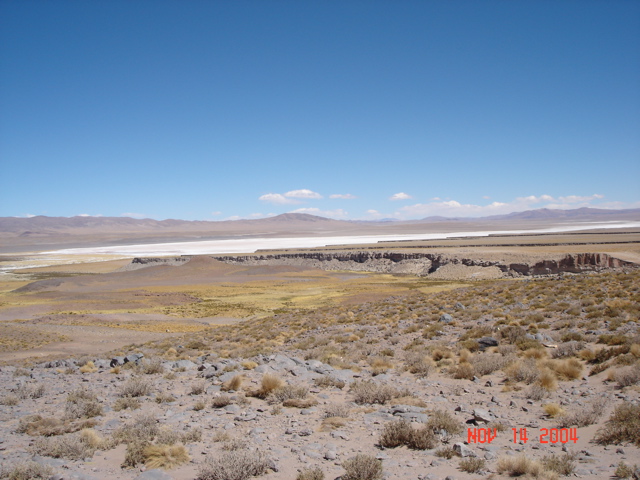
At the pass, you can see beautiful canyons, salt lakes and what appear to be small mountain peaks. These rise beyond the 14,500 foot pass to altitudes over 17,000 feet. We took our pictures at the Paso de Jama border crossing sign, and began our search for a place to camp.
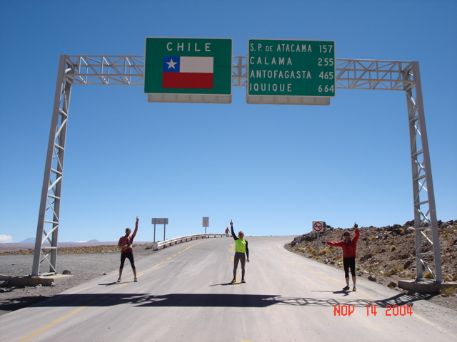
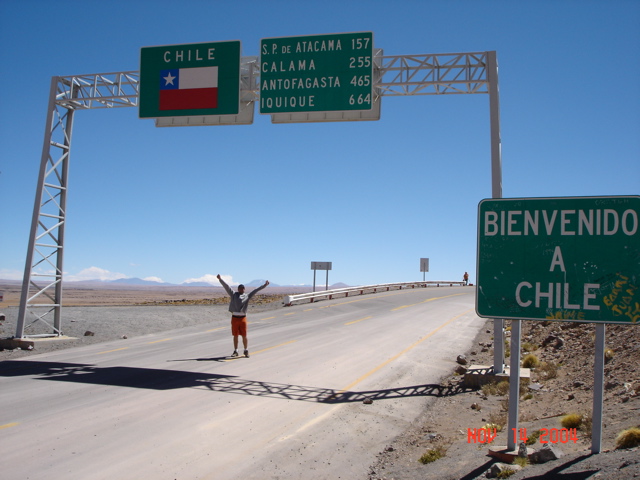
After a 40 mile drive, the only thing we found that would protect us from the wind were the short walls of a couple of scenic overlooks. We drove back to the best one, about 28 miles from the border, and set up camp.
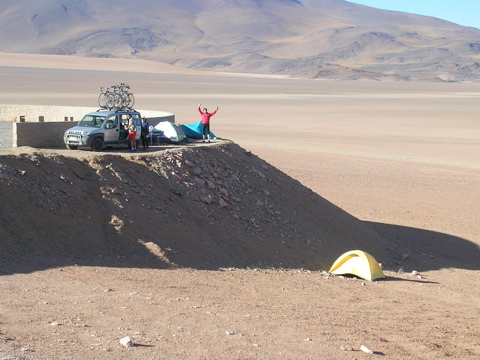
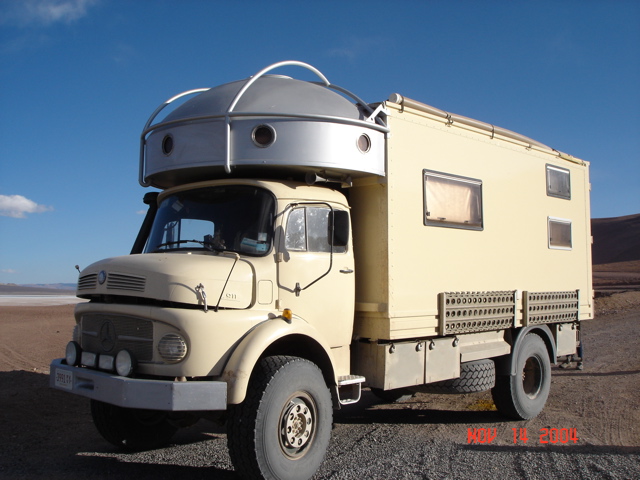
We (Bob) got the Fiat stuck in the sand trying to pull it close to the wall to provide a better wind break. Luckily, some Germans who live in New Mexico and had this spacey Mercedes camper built for rural touring came along and pulled it out.
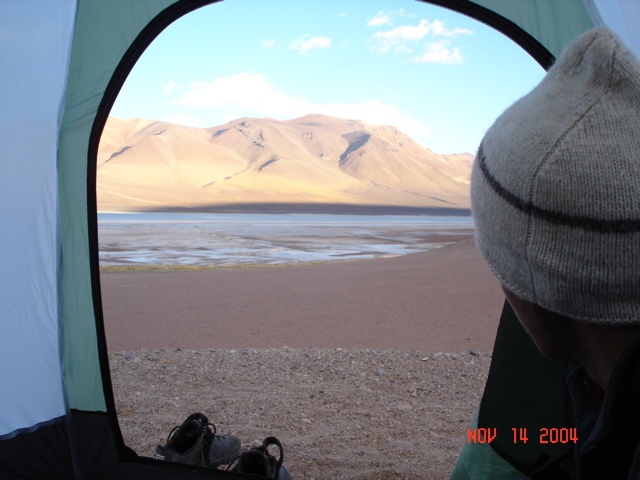
Below is the view from my tent tonight, Dalton looking out. We gathered rocks, built a little shelter for the fire, and had bread, wine and Eduardo cooked meat for dinner. All four of us clambered into my little pup tent for shelter from the wind while dining.
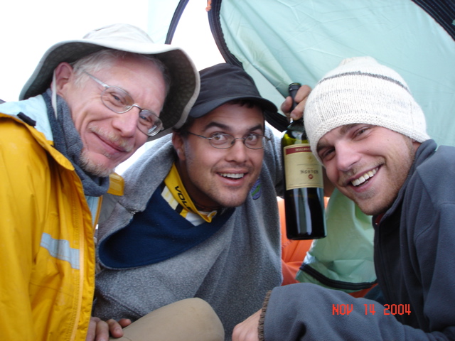
As I write this, the sun has set. It?s dark. The wind is blowing against our tents loudly. Dalton says if his tent isn?t there in the morning to look for his skinny little body somewhere down in the valley below us. We?re at 13,300 feet in the middle of nowhere. My guidebook says of the area ?Relief: Mountainous?, ?Climate: It fried dry.? This will be an interesting night.
Road Conditions: The facts are, from km220 on Ruta 52 you face 10 miles of paved uphill, followed by 16 miles of paved downhill and flat, followed by 9 miles of ride-able graded dirt road, followed by 42 miles of rough, rippled, gravel and sand uphill road.

 November 14, 2004