Iquique 201k 125m**
Bye Dalton!
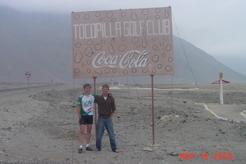
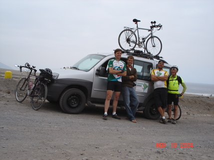
We woke up in our campsite between the stone golf course and the ocean and packed up slowly. Dalton came back for RASAM2004 part II to made it across the continent. That accomplished, it was time for him to head home to other responsibilities. Here is the Dalton-Bob going away photo, and the last complete team shot.
Eduardo took Dalton south to Tocopilla where Dalton would either catch a bus to Antofagasta or Eduardo would drive him. Steve and Bob headed north on the coastal desert road.
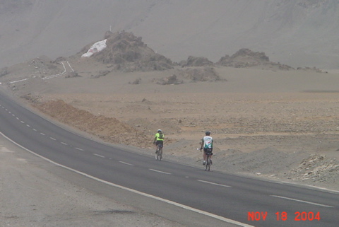
I had been staring at the long sloping climbing road that curved up the mountain since yesterday when we found the golf course/campsite, but didn’t see any vehicles on it. My potential dread was replaced by curiosity. How do we get around the mountain that sticks way out into the ocean?
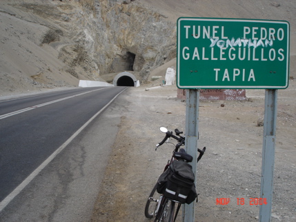
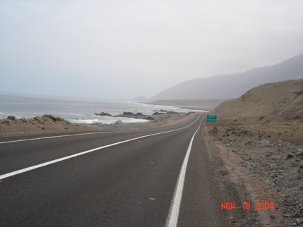
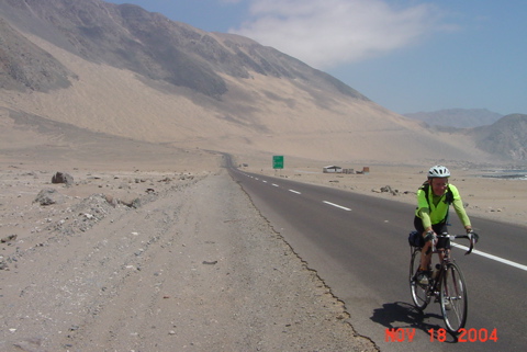
Somebody taught these people how to build tunnels! We rode through and the pattern for the day was quickly established. Mountains on the right. Ocean on the left. Nothing but rocks, dirt, sand and the road between. Much of the terrain is just flat, but there were dozens of small climbs and two bigger ones.
Along the way north Steve and I passed a few ramshackle villages. Made of wood poles with cloth or woven palm leaf walls and cloth roofs, these are permanent habitations. As Steve says, if it doesn’t rain, what more do you need? This one is a fishing village.
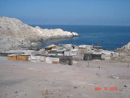
Given the ocean and desert, the climate must be very consistent here.
At 38 miles we went from Region II to Region I of Chile. I have heard variously that there are 3, 4, 6 and 13 regions. They seem to be just numbered, lacking names like Saskatchewan or Kentucky. The map showed a river here, but there was no sign of it. The crossing was marked by a sign, restaurant and large police checkpoint.
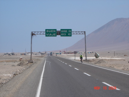
The police never hassle us at these checkpoints. We just ride through. There was a restaurant here and we decided to take a break and order some food. It didn’t work out. The little fast-talking Spanish-speaking guy couldn’t take yes for an answer. We rode on. My continental map of South America listed a number of towns and resorts as if they were significant. Most are just a few of the cloth/reed homes. This one, Ike-Ike, got big play on the map, and there was nothing here but a road-sign and a beach.
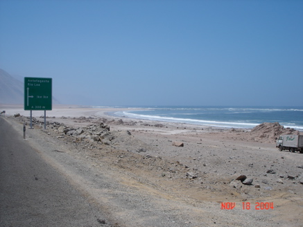
Were he here, Dalton could tell us the suitability for surfing of these miles after miles of waves. 68 miles from the golf course, Eduardo showed up. We thought he had driven Dalton to Antofagasta, but apparently not. Coincidentally we had come to the first town along the way (except for the regional crossing) that had a restaurant. We chose our usual ham and cheese (with pesto, mustard, chips, etc.) sandwich lunch.
Then we came to the first of two significant climbs of the day. Here’s the way up, a shrine at the top and the way down.
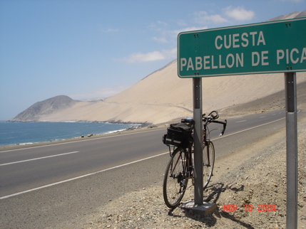
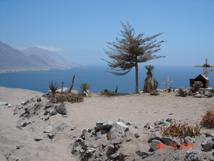
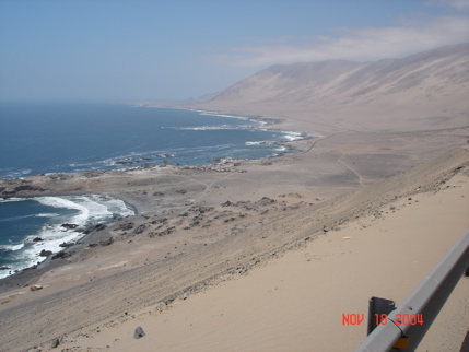
Heading toward Iquique the traffic builds. You pass a large power plant, a small commercial airport and a number of “for hire” beaches with walls around them, restaurants inside, playgrounds and the like. Then rounding a corner we came upon the Iquique version of a rock golf course.
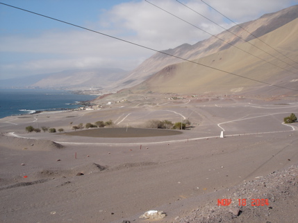
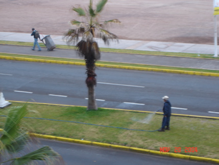
(Guy, you need to check these out.) Behind it, on the coast, is Iquique. This is the capital of Region 1, and at least along the coastalpart the cleanest most modern city we have found in South America. The Holiday Inn Express, where we stayed, was not the best place for luxury or culture, but it was new, clean, on the beach and had full amenities. The only green stuff here is watered by man – this guy.
We walked until point of exhaustion looking for a restaurant tomorrow, and ended up at an ok one only 5 blocks south of our hotel on the beach. It’s bedtime now.
We have decided to take a half day break here tomorrow. We have a 26 mile, 4,000 foot climb back to the Pan American Highway which Steve and I will ride in the morning, then we’ll come back here for regrouping before heading north into more uninhabited areas the following day.
Bye.

 November 17, 2004