Pemberton 135k/84m**
 October 10, 2002
It’s come to my attention that some of you have little idea where I am, other than Australia. Itinerary, Section I, has details, but here’s a map, just in case. I’m in Pemberton, at the top of the little inverted V. Someplace few of us will ever see.
My map study indicated it would be a day without any sources of food or water, so I waited until the general store in Augusta opened and stocked up on the usual (orange juice, a banana, an apple, gummi-bears, M&M peanuts, Gatorade), plus some unusual (cheese, antipasto salami). For the next two weeks, most of the time I will need to bring everything I need with me – enough water and food for a whole day, maybe a little more. There will be no intermediate towns or gas stations, just a destination. What would you bring?
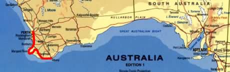
Today was 30km of rolling hills through mostly pastures, 55km of relative flat through scraggly, short, sometimes swampy forests, and 40km of moderate hills through taller forests. Heading out of Augusta II took a 20 km side road (Kudarup Street) through a rural area up to the E-W Brockman Highway. Wooded areas and pastures..
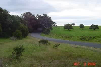
but I got to see my first camel, even if it was far away (this shot 6x magnification on my camera).
Heading east on Brockman Hwy, after a bit more farmland, it turned into that gnarly forest called “National Park”.
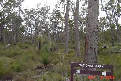
There were many “National Park” signs. Maybe if I accomplish something or give them some money, they’ll name this unnamed “National Park” after me? At 44km I came to my first mileage sign.
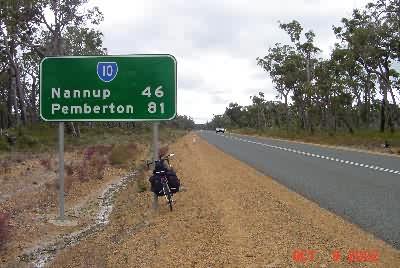
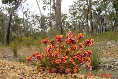
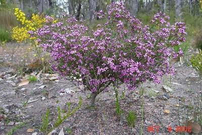
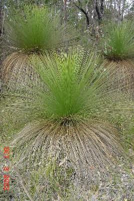
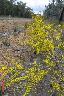
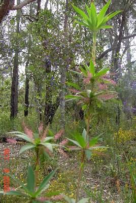
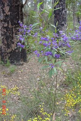
I photograph these mileage signs more for me than you. It helps me keep track of the day. In this case though, there was only one town within riding distance the direction I was going – Pemberton. (Nanup is off to the north.). The gnarly trees continued, and I felt a weak photograph/story day developing, so I decided this would be “Small Flower by the Side of the Road Day”. They were there. I photographed them. Nancy is the only person I know who may try to figure this out.
At 55 km I stopped at an I-Bay (roadside rest area with an information sign). It explained how introduced foxes had already killed 10 native species of animals, and how the government was, in turn, trying to kill the foxes. They developed poison 1080, made from native plants, that is harmless to indigenous animals, but kills foxes and people. I had a nuts, banana, gummi-bear and cheese breakfast, and kept going. 50 or so kilometers is a good distance for a break, whether you need one or not. (I have photos of the information plaques listing all the extinct animals, and one of me next to a “Poison Risk” sign, before I knew what they were for.)
Two hours of not much (except a couple of the flowers above) later, I came to the pretty Karri Valley Resort. Rather than take a 2km side trip detour to their “Riverside Restaurant”, I opened my antipasto meats and had a meat and cheese lunch on the front lawn. It was only a little more than 20km into Pemberton, but after that, the next town, Walpole, was over 100km further down the road – a little too far to ride in the ever-increasing hills of these forests. So I rode to Pemberton, and saw some what I think might be emus, not that I know what an emu is…
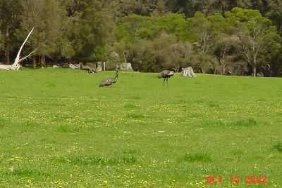
I never got close to one, they stay 100 meters from the road, but it appears they combine the size of an ostrich with the plumage of a peacock, without the tail – if that makes any sense. Somewhere between Busselton and Margaret River yesterday I saw a sign offering Emu leather, so I’m not quit sure what’s going on here.
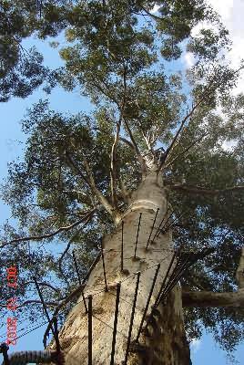
Pembridge has a forest train ride (last departure 2PM, I missed it), a winery (Gloucester Ridge) and a lookout tree (Gloucester Tree). I dumped my stuff at the Pemberton Hotel, and set off to check out the Tree. Around 1921 they stripped off ALL the branches, topped it (cut off the top), pounded a circular metal rod stairway around it, and built a little lookout tower at the top. This would have killed any living tree in North America, but somehow this tree survived. Here is what it looks like today (literally).
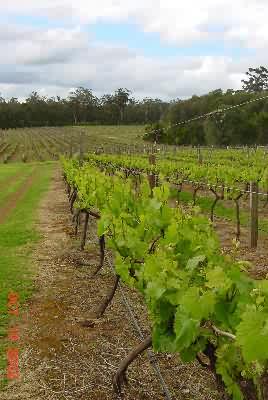
My legs are getting enough exercise, and this looked pretty scary to me, so I just went to the winery, checked out their vineyards and wine (Sav Blanc and Cab Merlot were both great, Pinot was weak), and went back to town.
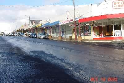
Here’s the town – Pemberton.
They have a little local museum dedicated to the local industry (forestry). I saw what appeared to be natural second growth forests on the way into town, but was somewhat dismayed to fnd that they were considered to be tree farms.
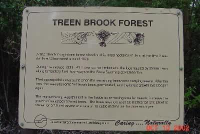
I’m not sure if you will be able to read this, but it says the forest was cut down in 1928 to 1933, reseeded itself naturally, and now was waiting to be cut down again. There is some opposition to this. Painted across the road on the way into town as a sign that read “Save Our Forests”. I could tell by the size of the trees in the photographs in the museum that there wasn’t (I had not seen) much, if any, natural, original growth forest left around Pemberton, but I expect to see some tomorrow.
That’s it. A short day, but I didn’t have any reasonable options. As you can see from the picture of the town, it started raining yesterday. This wouldn’t have stopped me if I had a good next town destination. Bye!
(10October2002, 9:42P, Pemberton)
– Matt, Bobbie – the big RV rental company down here is Britz.
